Upload and explore your GPX tracks
Transform your routes into interactive maps. Upload your GPX files and discover every detail of your journey.
Key features
Interactive GPX track viewer
View GPS tracks on an interactive map with smooth zoom and pan functionality.
Route statistics
Get total distance, elevation gain/loss, maximum/minimum altitudes, duration, time in movement, max speed, etc.
Elevation profile visualization
Display elevation graphs with interactive markers to inspect exact altitude changes along your route.
Multiple map layers
Switch between topographic and satellite maps.
GPX/KML files import
Coming SoonImport from multiple GPS file formats with full metadata and route previews.
Route color by elevation
Highlight segments by gradient for a visual understanding of effort and terrain.
Export & download files
Coming SoonDownload your track as a new GPX or KML file.
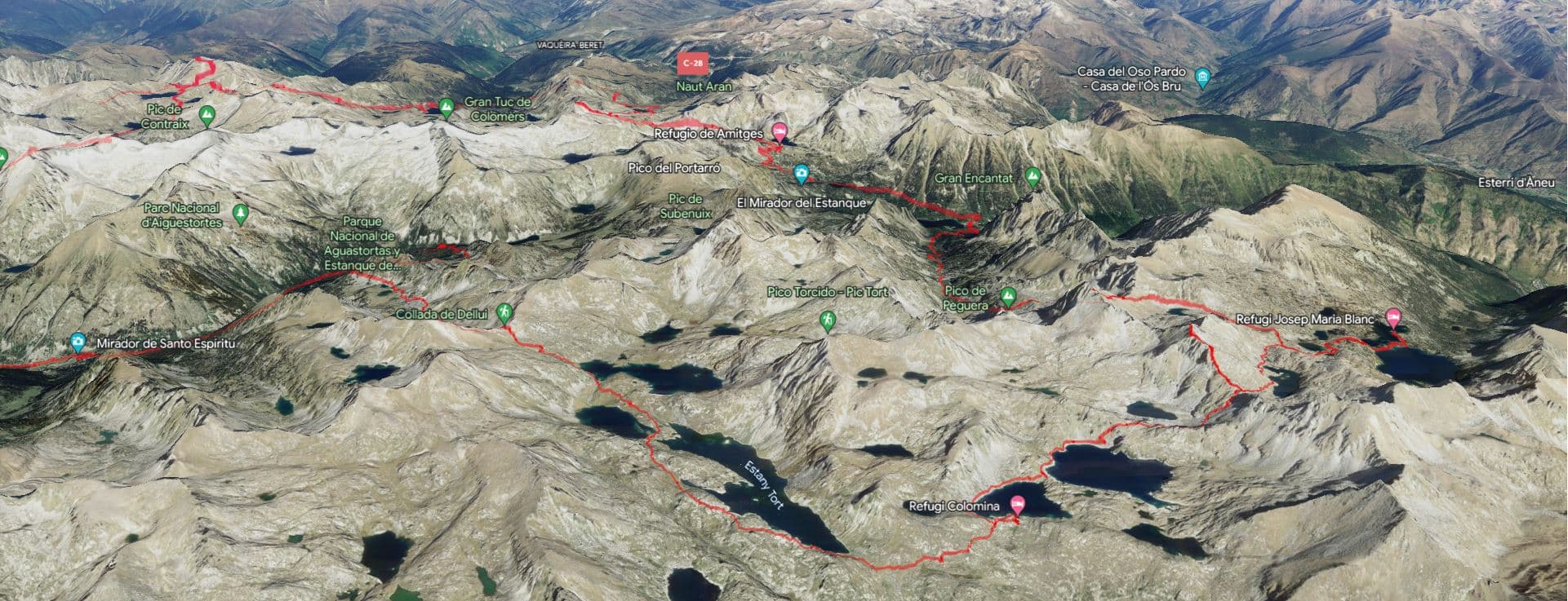
3D maps
Coming SoonSee elevation changes and terrain in a realistic three-dimensional view, helping you better understand ascents, descents, and landscape features from your adventure.